G20 Countries Map: Names, Locations, and Facts with PW Atlas Book
Staring at blank outlines without any spatial orientation leads to confusion during high-pressure final assessments, making it hard to pinpoint exactly where regional groups intersect. Using a comprehensive Atlas book for UPSC turns these complex political layouts into structured, highly interactive mental images.
This detailed article covers vital global alliances, spatial parameters, and political limits, helping you remember locations clearly and accurately when writing your answers.
What is the Atlas Book for UPSC?
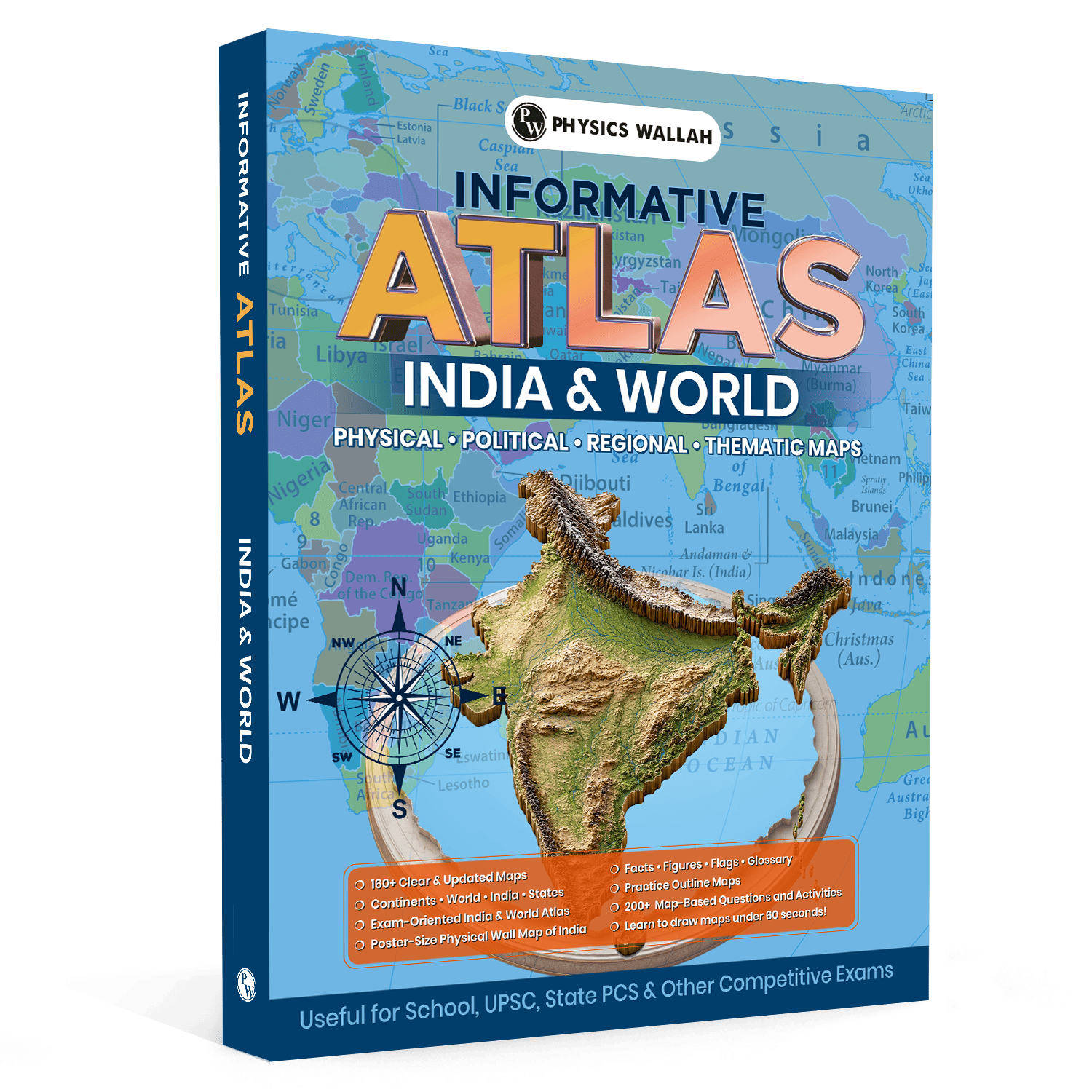
An atlas for UPSC is a specialised, exam-oriented geographical guide designed to build strong spatial awareness and factual clarity for competitive examinations. Unlike standard school books, a premium atlas book focuses heavily on high-yield zones, international borders, maritime trade channels, and disputed territories that frequently appear in current affairs. It translates dry political data into clear visual formats.
-
Visual Mapping: Features over 160 updated maps covering vital regional changes, internal states, and global networks.
-
Quick Reference Data: Contains specialized glossaries, official statistics, country flags, and core geographical figures for rapid review.
-
Skill Exercises: Incorporates unique map-drawing techniques to help you sketch out correct outlines in less than 60 seconds.
-
Active Evaluation: Includes more than 200 map-based questions and practice activities to verify your location accuracy.
-
Bonus Revision Tool: Provides a large, poster-sized physical wall map to support daily lookups and visual memory retention.
Why is the Atlas Book for UPSC Useful for G20 Map Preparation?
Studying global forums like the Group of Twenty requires a reliable world atlas for UPSC that clearly displays how distinct trading blocs overlap across different hemispheres. Memorizing names in a list is never enough because modern exam trends focus heavily on relative locations, shared maritime channels, and transcontinental borders.
A thorough atlas book for UPSC shows you exactly how member states connect across different regions. It helps you see how these countries are distributed across North America, South America, Europe, Africa, Asia, and Oceania.
-
Clear Boundary Delineation: It highlights the specific sovereign limits of member nations, helping you identify which countries share physical borders.
-
Hemispheric Placement: You can easily spot which members lie entirely in the Southern Hemisphere or across the Tropic of Capricorn.
-
Visual Isolation: The clear layout lets you separate the 19 individual countries from the broader regional blocs, like the European Union and the African Union.
-
Maritime Spatial Insights: It helps you trace how member states flank major maritime routes, including the Mediterranean Sea, the Pacific Ocean, and the Indian Ocean.
-
Integrated Exercises: By using practice outline maps, you can test your memory and make sure you do not confuse nearby non-member nations during the actual exam.
UPSC Books provide comprehensive coverage of the UPSC syllabus with concept-based explanations, practice questions, and exam-oriented content across General Studies subjects.
These books help aspirants build a strong foundation, strengthen conceptual clarity, and prepare effectively for both the UPSC Prelims and Mains examinations.
Important Locations to Mark with Atlas Book for UPSC
To build a strong spatial understanding, you need to mark specific locations systematically on your layout. Using an atlas for UPSC geography ensures you capture the critical zones where major economic powers interact.
Open your map guide and focus on the distinct continental divisions listed below:
1. The Americas
-
North America: Highlight Canada, the United States of America, and Mexico, paying close attention to their shared coastlines along the Atlantic and Pacific oceans.
-
South America: Mark Brazil and Argentina. Observe their extensive Atlantic borders and note how they relate to the Amazon basin and southern plains.
2. Eurasia and Africa
-
Europe: Pinpoint the individual sovereign members, including the United Kingdom, France, Germany, and Italy. Next, trace the collective reach of the European Union.
-
Africa: Highlight South Africa at the southern tip, and mark the sweeping territorial presence of the African Union across the continent.
-
Middle East: Carefully mark Saudi Arabia, noting its strategic position between the Red Sea and the Persian Gulf.
-
Northern Eurasia: Trace the vast trans-continental layout of Russia, noting how it connects eastern Europe with northern Asia.
3. Asia and Oceania
-
East Asia: Clearly mark China, Japan, and the Republic of Korea, paying close attention to their positions along the Sea of Japan and the East China Sea.
-
Southern Asia: Highlight India, tracking its central maritime position in the Indian Ocean region.
-
Southeast Asia: Mark Indonesia, taking note of its massive archipelagic spread across critical global shipping straits.
-
Oceania: Outline Australia, tracking its isolated position between the Indian and Pacific oceans.
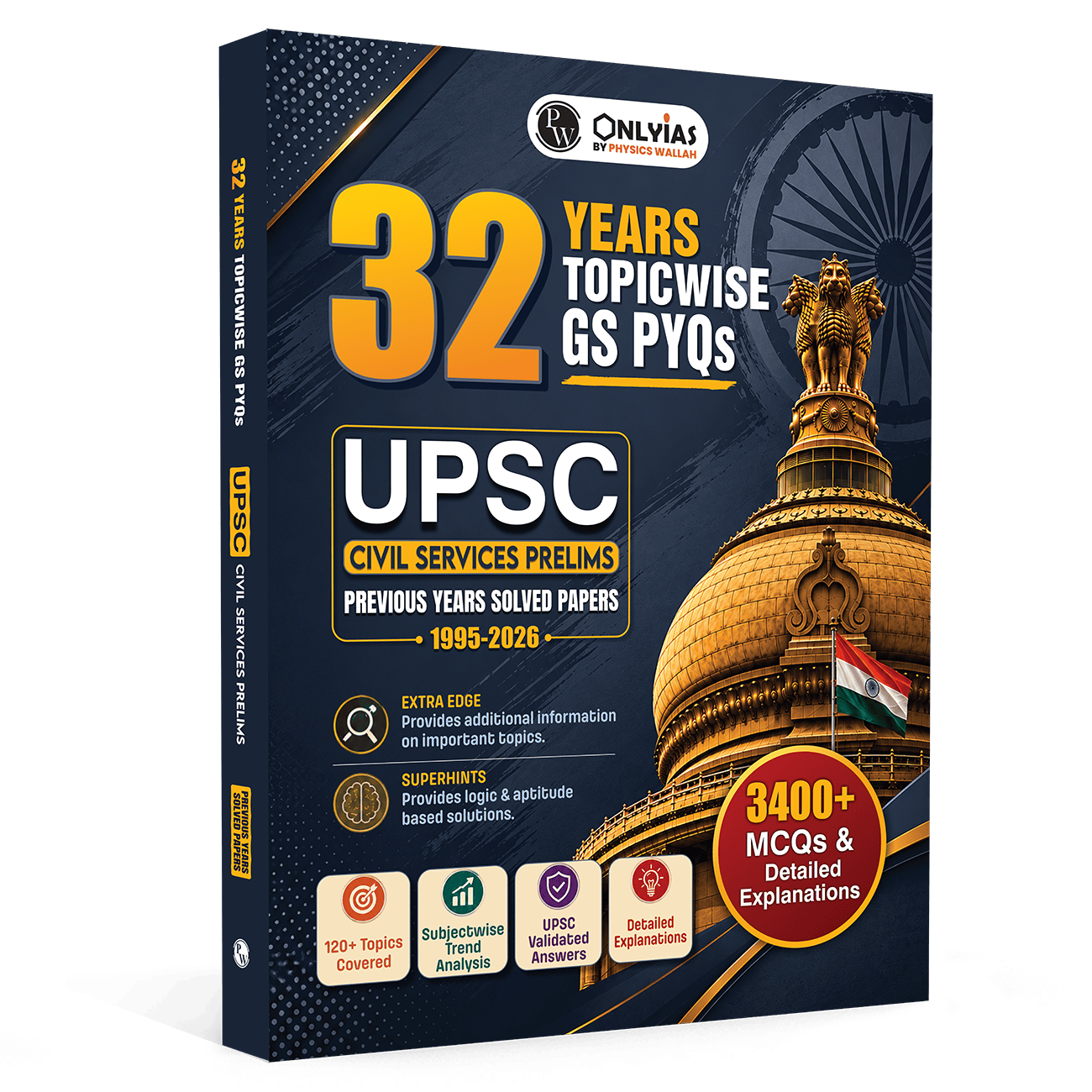
Strengthen your UPSC preparation with the UPSC PYQ book book featuring topic-wise previous year questions, detailed explanations, and trend-based practice to improve conceptual clarity, accuracy, and exam readiness for the UPSC Prelims.
How to Learn the G20 Countries Using the Atlas Book for UPSC?
Learning global political geography requires a smart, structured approach rather than simple rote memorisation. By using the specialized features of your atlas for UPSC, you can easily break down this large group of nations into manageable parts.
Follow this simple, step-by-step method to build a clear mental map of these global powers:
|
Strategy Stage |
Action Item |
Expected Learning Outcome |
|
Stage 1: Continental Splitting |
Group the members into their respective continents using your map reference guide. |
Reduces confusion by breaking the large list into smaller regional blocks. |
|
Stage 2: Line Verification |
Trace major lines of latitude, like the Equator and the Tropic of Cancer, across member states. |
Helps you answer tricky questions about relative positions and climate zones. |
|
Stage 3: Choke Point Tracking |
Locate key maritime passages controlled by these nations, such as the Malacca Strait. |
Connects political geography directly with international trade and security topics. |
|
Stage 4: Flag and Fact Pairing |
Match each country's borders with the official data, figures, and flags in the appendix. |
Builds strong recall by linking visual markers with key country facts. |
|
Stage 5: Outline Sketching |
Use quick-drawing methods to draw rough regional shapes in less than a minute. |
Gives you a practical skill for drawing quick, accurate maps in your descriptive answers. |
Study Strategy Plan with Atlas Book for UPSC
Retaining complex geographical details for your final assessment requires a consistent, structured study routine. Rather than trying to cram every country layout into a single session, a steady plan helps you build lasting visual memory.
Week 1: Basic Outlines and Individual Nations
Spend your first sessions finding and marking the 19 individual sovereign nations. Avoid looking at complex regional blocs for now. Focus entirely on clear political boundaries, matching capital cities with their correct geographic locations.
Week 2: Regional Blocs and Shared Maritime Spaces
Shift your focus to the collective territories of the European Union and the African Union. Use your atlas for UPSC PDF or a printed map guide to see where these blocs sit next to individual member states. Mark the major oceans and seas that connect these large trading regions.
Week 3: Quick Drawing and Active Revision
Start practicing active revision methods. Use the simple, step-by-step techniques in your guide to draw regional maps from memory in under 60 seconds. Test your knowledge by filling out blank practice outline maps to fix any placement errors.
Also Check, UPSC Current Affairs
Common Mistakes to Avoid While Studying G20 Maps with Atlas Book for UPSC
Many students make simple, preventable mistakes when studying global political maps, which can cost them valuable marks under exam pressure. Being aware of these common traps will help you keep your preparation accurate and effective.
-
Confusing the Blocs: Many candidates mistake the permanent guest country, Spain, or individual European nations for separate standalone members, forgetting they are already represented through the European Union.
-
Ignoring the Global Bodies: Skipping the geographic reach of the newly included African Union can leave a huge gap in your knowledge of regional representation.
-
Neglecting Nearby Non-Members: Focusing only on member nations without checking their neighbours makes it easy to trip up on tricky "north-to-south" sorting questions.
-
Skipping Active Practice: Relying entirely on passive reading without working through map-based questions or drawing practice outlines leaves your spatial memory unverified.
-
Forgetting Relative Positions: Memorising a country in isolation without checking its exact position relative to major lines of latitude makes it hard to solve complex spatial problems.
Atlas Book for UPSC FAQs
How does an atlas for UPSC help in identifying the Group of Twenty members?
A dedicated reference guide provides highly detailed, updated political maps that clearly separate individual sovereign countries from large regional blocs. This clear presentation prevents you from confusing member nations with nearby non-members during the exam.
Can I practice drawing global maps using the atlas book for UPSC?
Yes, the guide includes specialized map-drawing techniques designed to help you sketch out key regional outlines in under 60 seconds. This is an excellent skill for adding quick, clear diagrams to your descriptive answers.
Does the world atlas for UPSC contain practice worksheets for global groups?
The guide comes with more than 200 map-based questions, active learning tasks, and practice outline maps. These tools let you test your location tracking and fix any mistakes well before exam day.