How to Draw India's Map in Under 60 Seconds Using PW Atlas Book?
During civil services mains answer writing, you often have less than seven minutes to read, structure, and write an entire answer. Trying to draw a perfectly scaled map of India during these tense moments can feel impossible.
Using an Atlas book for UPSC designed for visual learning helps you break down the physical borders into quick, manageable geometric lines. This guide reveals how to draw India's map in under 60 seconds with simple, step-by-step techniques.
What Is an Atlas Book for UPSC?
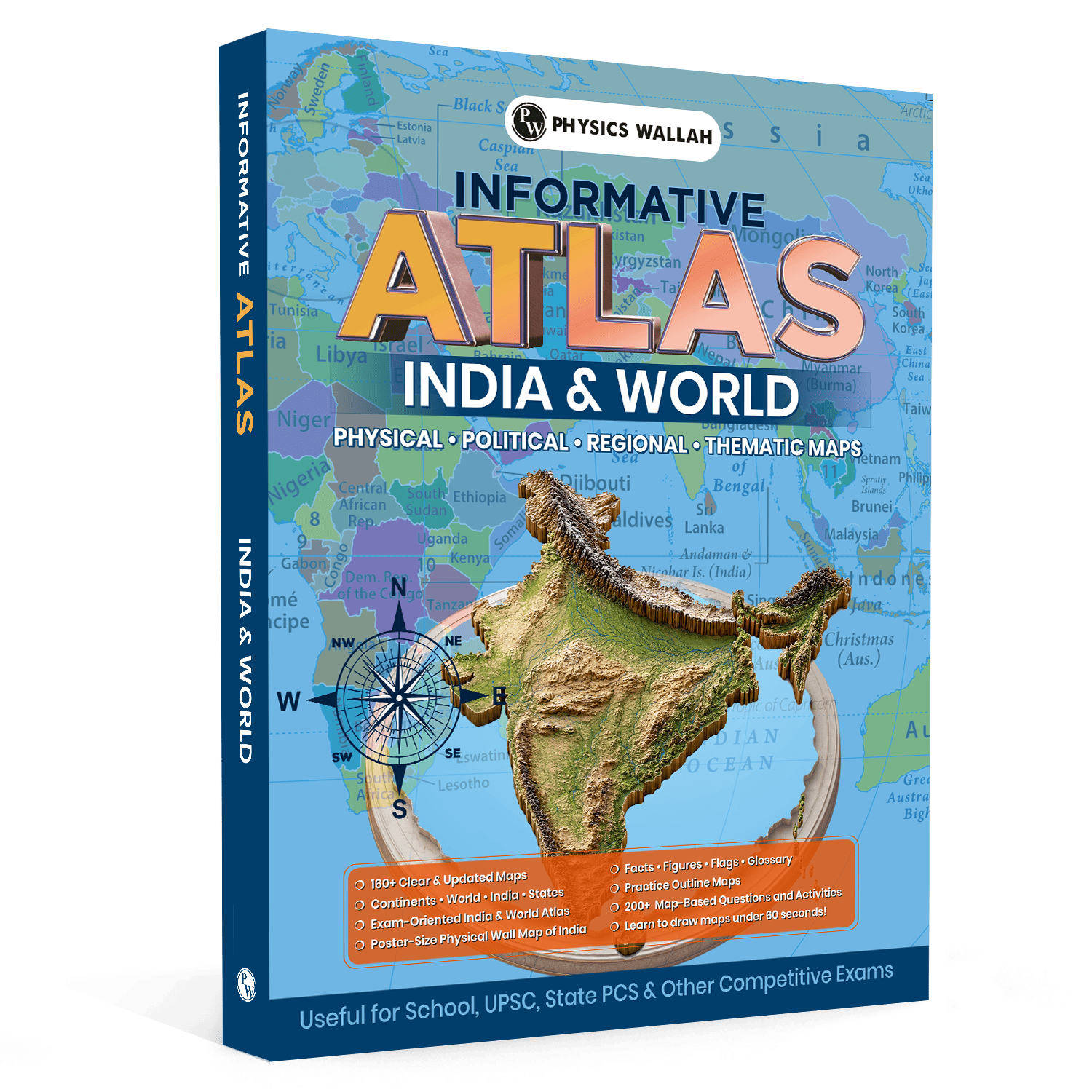
An atlas book for UPSC is a highly specialised geographical learning resource tailored to the rigorous demands of civil services preparation. Unlike standard school atlases that only display static geopolitical boundaries, a dedicated atlas for UPSC focuses heavily on conceptual visualization, exam-oriented locations, and map-drawing techniques.
These publications translate dense geographical facts, administrative boundaries, physical features, and international trade corridors into clear, high-yield thematic visual aids. They serve as an essential tool for both the Prelims and Mains stages of the examination.
-
Comprehensive Map-Based Coverage: It covers global continents, individual nations, and all Indian states with precise detail on physical attributes like rivers, mountains, and deserts.
-
Geographical Facts & Figures: High-yield summaries, demographic statistics, and quick-reference glossaries are provided to help with rapid revision before exams.
-
Active Learning Elements: It contains map-based questions, activities, and blank outline practice layouts to test visual recall.
Why Is Atlas Book for UPSC Helpful for Map Practice?
Using a specialised Atlas Book for UPSC is a game-changer for daily map practice because it bridges the gap between passive reading and active retention. Instead of merely memorising locations, aspirants develop a deeper understanding of geographical concepts and their relevance to the UPSC syllabus.
To strengthen your preparation further, pair your atlas with UPSC Books, which provide comprehensive subject-wise theory, practice questions, and revision material across General Studies. Combining map practice with structured UPSC books helps improve conceptual clarity, reinforce important topics, and build a well-rounded preparation strategy for both the UPSC Prelims and Mains examinations
-
160+ Updated Maps
The resource offers over 160 highly detailed, updated maps covering critical national and global concepts. This extensive coverage ensures you do not miss out on newly defined Union Territories, changing international boundaries, or environmentally sensitive corridors.
-
Quick-Reference Sections
Instead of scanning endless pages of text, the dedicated quick-reference glossary and facts sheets keep your data structured. You can find critical information on mountain peaks, major river systems, and wildlife sanctuaries right alongside their geographical coordinates.
-
Poster-Size Physical Wall Map
The book includes a large, poster-sized physical wall map of India. Hanging this on your study wall aids constant passive visual memory. Glancing at it multiple times a day reinforces your spatial understanding of India's physical landscape.
Steps to Draw India's Map with Atlas Book for UPSC
Drawing a map of India in under a minute requires a systematic approach. By breaking the map down into a basic grid and utilizing the structured guides in your world atlas for UPSC, you can build a fast muscle-memory routine.
Follow these simple steps to draw the map effortlessly:
Step 1: Establish the Vertical Axis
Start by drawing a light, straight vertical line down the centre of your page. This line serves as your primary reference axis, representing the longitudinal span of the country. It ensures that your northern boundaries align perfectly with your southern peninsula.
Step 2: Draw the Horizontal Guide Line
Draw a light horizontal line intersecting the upper third of your vertical line. This creates a basic off-centre cross. The horizontal line helps keep your eastern and western borders balanced, ensuring that your Rajasthan and Gujarat boundaries do not sit higher than your Northeast states.
Step 3: Draw the Northern Crown
Begin your actual outline at the top of the vertical line to sketch Jammu, Kashmir, and Ladakh.
-
Draw three small, gentle curves at the top to indicate the northernmost crown.
-
Bring the line down towards the left to prepare for the western plains, and downwards to the right to mark the entry point of the Himalayas.
Step 4: Map the Western Coast and Gujarat
Move to the left side of your horizontal guide.
-
Sketch a small protrusion for the western bulge of Rajasthan.
-
Draw a distinct, backward-facing "3" shape to create the Gulf of Kachchh and the Kathiawar peninsula of Gujarat.
-
Extend a straight, clean diagonal line downwards towards the southern tip of the page.
Step 5: Form the Southern Peninsula
From the bottom of your Gujarat outline, extend a straight line southwards to form the Western Ghats coastline.
-
For the eastern side, draw a matching diagonal line going southwards.
-
Ensure these two lines meet at a sharp point at the bottom to form the V-shaped peninsular tip at Cape Comorin (Kanyakumari).
-
Add a small indent on the eastern line to represent the Krishna-Godavari river deltas.
Step 6: Complete the Eastern Outlines
Go back to the northern section on the right side.
-
Draw a small, upward curve for Sikkim, followed by a flat line for Bhutan.
-
Create a broad, arched canopy to represent Arunachal Pradesh and the Northeast sister states.
-
Swoop downwards and draw an inward curve to outline the border of Bangladesh.
-
Connect this line to the eastern coast of the peninsula, completing the map.
UPSC Previous Year Papers help aspirants understand the latest exam pattern, question trends, and the level of difficulty through authentic questions asked in past UPSC examinations.
Regular practice with UPSC PYQ book improves analytical thinking, strengthens conceptual clarity, and enables focused preparation for both the UPSC Prelims and Mains.
Practice Sheet for Using Atlas Book for UPSC
Using the outline practice maps provided in the UPSC atlas book is the fastest way to build confidence. Active, hands-on tracing helps move your spatial understanding from temporary memory into long-term recall.
|
Practice Component |
Purpose |
Action Item |
|
Grid-Based Drawing |
Teaches correct geographic proportions |
Use the light grid lines in your workbook to align the states accurately. |
|
Active Tracing Sheets |
Develops immediate muscle memory |
Trace the core boundary of India five times daily using the workbook outlines. |
|
Blank Map Activities |
Tests visual and spatial recall |
Mark major physical features from memory without looking at the reference pages. |
|
Overlay Practice |
Improves accuracy in regional shapes |
Place a blank sheet over the physical map of the atlas for UPSC to draw specific rivers. |
How to Improve Accuracy with the Atlas Book for UPSC?
Drawing quickly is useless if your map is highly inaccurate. To gain extra marks in your Mains answers, you must balance speed with structural precision. Your atlas for UPSC geography can help you refine this balance over time.
1. Master Regional Proportions
Instead of trying to memorise the entire map in one go, break it down into smaller zones. Focus on the distinct shapes of Gujarat, the smooth curves of the southern peninsula, and the hook-like shape of the Northeast states. Mastering these individual components makes assembling the full map much easier.
2. Focus on Critical Boundary Anchors
When drawing a quick map, certain landmarks must be represented correctly to make it instantly recognisable. Make sure your Sikkim curve is distinct, the Rajasthan bulge points outward, and the southern peninsula tapers to a neat point.
3. Utilise Interactive Practice Questions
The workbook contains over 200 map-based questions and activities. Use these to test your knowledge by plotting complex elements like national parks, mountain ranges, or river tributaries directly onto your sketched maps.
UPSC Mind Maps simplify complex General Studies topics into easy-to-understand visual diagrams, helping aspirants revise faster and retain concepts more effectively.
Designed for quick Prelims and Mains revision, they improve conceptual clarity, strengthen memory, and make last-minute preparation more efficient.
Study Strategy Plan with Atlas Book for UPSC
Integrating map practice into your daily study routine is the most effective way to prepare for geographical questions. This structured 4-week study plan will help you master rapid map drawing.
Week 1: Basic Outlines and Geometric Grids
-
Focus Area: Mastering the off-centre cross technique.
-
Daily Goal: Draw the vertical and horizontal guide lines and sketch the simplified outer boundary of India five times.
-
Workbook Target: Complete the basic structural tracing exercises in your atlas for UPSC.
Week 2: Detailing Regional Boundaries
-
Focus Area: Improving the accuracy of complex areas.
-
Daily Goal: Focus on drawing the highly curved regions, such as the Northeast states and the Gujarat coastline, in under 20 seconds.
-
Workbook Target: Complete the regional identification activities.
Week 3: Quick Physical Feature Plotting
-
Focus Area: Adding critical physical details rapidly.
-
Daily Goal: Sketch the map outline of India in 45 seconds, then take another 15 seconds to mark major rivers (like the Ganga and Indus) or mountain ranges (like the Himalayas and Western Ghats).
-
Workbook Target: Solve the physical geography questions in the practice section.
Week 4: Real-Time Exam Mock Trials
-
Focus Area: Simulating real UPSC Mains exam conditions.
-
Daily Goal: Practice writing a mock answer and draw the map of India, complete with relevant data points, in under 60 seconds.
-
Workbook Target: Attempt the complex, multi-concept geographic mock tests.
Common Mistakes to Avoid While Drawing Maps with Atlas Book for UPSC
Even experienced candidates make simple mistakes that can distort their maps. Recognizing and correcting these errors early in your practice will save you valuable marks.
-
Losing Proportionate Balance: Candidates often draw the southern peninsula too long or make the northern Jammu and Kashmir region overly large. Keep your central vertical guideline as a reference to maintain correct proportions.
-
Neglecting Major Geographical Features: Do not forget key details like the distinct outward curve of Sikkim or the sharp indent of the Krishna-Godavari delta. Leaving these out makes the map look generic and less precise.
-
Spending Too Much Time on Fine Details: Your goal in a UPSC exam is to represent data, not to paint a portrait. Avoid drawing tiny, jagged movements along the coast. Keep your lines smooth, quick, and simplified to stay under the 60-second limit.
-
Improper Placement of Key Sites: Plotting cities, passes, or rivers in the wrong place looks highly unprofessional. Use the precise location guides in your atlas for UPSC PDF or reference book to learn the exact intersections.
Read More: UPSC Geography Previous Year Papers with Downloaded PDF
Atlas Book for UPSC FAQs
Which is the best atlas for UPSC preparation?
The best atlas is one that combines clear visual maps with exam-oriented practical tools. Look for an atlas that includes map-drawing guides, blank outline sheets, and a dedicated database of high-yield geographical facts.
How does practicing outline maps help in UPSC Mains?
Practicing outline maps helps you visualize geographical boundaries, rivers, and mountain ranges easily. It builds the speed and muscle memory needed to quickly illustrate your answers during the mains exam, which can help secure extra marks.
Can I draw regional maps of India instead of the full map?
Yes, drawing regional maps is highly effective. If an answer only requires you to discuss the Deccan Plateau or the Indus River basin, drawing a neat, focused regional map saves time and looks highly professional.