What Makes PW Atlas Different from Other Atlas Books?

Sitting at a study desk surrounded by massive reference volumes can feel overwhelming. Many aspirants struggle to link static text with actual geographic locations, making international relations and physical geography seem incredibly abstract.
This detailed guide highlights how an exam-oriented Atlas for UPSC transforms complex geographical concepts into clear visual data, giving you a competitive edge.
Importance of Atlas for UPSC
Geographical awareness forms the bedrock of both the Prelims and Mains papers. Without a clear visual understanding of the world, static subjects like international relations, environmental studies, and current affairs lose their context.
-
Prelims Mapping Questions: Direct questions regularly appear regarding critical straits, national highways, disputed borders, and ecological zones.
-
Mains Answer Enrichment: Incorporating clean hand-drawn sketches and correct spatial boundaries drastically improves your descriptive scores.
-
Interdisciplinary Links: An Atlas book for UPSC links global economic resources directly to international geopolitical conflicts.
-
Visual Memory Retention: Retaining physical boundaries through clear colour codings lasts significantly longer than memorising plain text lists.
Features of Atlas for UPSC
Understanding the precise technical aspects of your UPSC books helps you utilize it to its full potential during intense revision cycles.
-
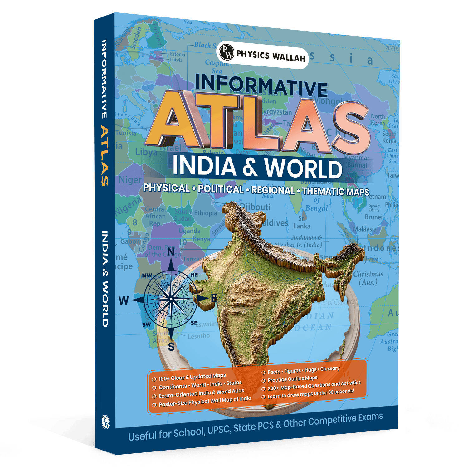
160 Plus Updated Maps: Explore comprehensive layouts that reflect recent geopolitical shifts, international boundary alterations, and updated regional names.
-
Map Drawing Techniques: Learn specialized, simple techniques designed to help you sketch important national and continental boundaries in under 60 seconds.
-
Dedicated Glossary Section: A highly organized reference index complete with flags, essential regional statistics, and fundamental geographical definitions.
-
200 Plus Practice Activities: Over two hundred map-based questions and activities explicitly included to test your spatial retention.
-
Poster-Size Reference Sheet: Comes with a large physical wall map of India to encourage daily passive visual learning right next to your study desk.
Why Is This Atlas for UPSC Different from Other Atlas Books?
Traditional reference materials often overload students with dense, administrative details that have no relevance to the civil services syllabus. This specialized edition focuses exclusively on high-yield, exam-specific content.
|
Feature |
Conventional Materials |
Our Specialized UPSC Edition |
|
Target Audience |
General school students or academic researchers |
Serious civil services and government exam aspirants |
|
Layout Design |
Cluttered text with legacy administrative boundaries |
High-yield, clean visual designs for optimal clarity |
|
Practice Tools |
Minimal or completely absent practice grids |
Dedicated practice sheets, outline grids, and tasks |
|
Additional Assets |
Standard bounded publication pages only |
Includes an extra poster-size physical wall map of India |
Which Maps are Included in the Atlas for UPSC?
Comprehensive spatial coverage ensures you never need to rely on disjointed digital search results or outdated school atlases. To strengthen your preparation further, pair the atlas with UPSC Revision Books, which provide concise subject-wise summaries, important facts, and exam-oriented revision material. Using an atlas alongside structured revision books helps improve geographical understanding, strengthen map-based concepts, and enhance retention for both the UPSC Prelims and Mains examinations.
-
Detailed Continental Layouts: Dedicated sheets tracking complex industrial belts, tectonic boundaries, and political shifts across continents.
-
Indian State Layouts: Deep dives into individual state parameters, local river tributaries, mountain passes, and key national parks.
-
World Atlas for UPSC Global Views: Integrated global perspectives covering primary marine trade channels, wind movements, and ocean currents.
-
Physical Terrain Overviews: Dedicated physical sheets displaying precise altitudinal variations, major plateau regions, and desert boundaries.
-
Political Boundaries: Clear, uncluttered political delineations highlighting capital cities, disputed territories, and major global ports.
How to Use Atlas for UPSC?
Simply turning the pages passively will not yield results. You need an active methodology to transfer these visual layouts into long-term memory.
-
Coordinate with Current Affairs: Whenever an international conflict or summit appears in the daily news, open your world Atlas for UPSC and mark the exact zone.
-
Trace the River Basins: Use your fingers to physically trace a river from its origin point down to its delta, noting every single tributary along the way.
-
Isolate Major Latitudes: Observe exactly which states and nations intersect the Equator, the Tropic of Cancer, and the Tropic of Capricorn.
-
Utilise the Wall Asset: Mount the provided large physical sheet at eye level to naturally memorize national topography during short study breaks.
Check Out: UPSC PYQ Book
Study Plan for Using the Atlas for UPSC
Integrating spatial study into your daily routine prevents last-minute panic before the preliminary exam.
-
Phase 1 (Weeks 1 to 2): Focus entirely on your home country geography, mastering states, coastal boundaries, and immediate international neighbors.
-
Phase 2 (Weeks 3 to 4): Study the complex river networks, mountain systems, national parks, and key biosphere reserves within India.
-
Phase 3 (Weeks 5 to 6): Expand your scope outward to global physical features, covering major mountain ranges, trenches, and desert belts.
-
Phase 4 (Weeks 7 to 8): Pivot heavily toward geopolitical hot-spots, strategic maritime straits, and global economic trade routes.
How to Practice with Atlas for UPSC?
True mastery comes from active, hands-on application. Use the following structured outline as a blueprint for your daily practice sessions. To make your preparation more relevant, complement your map practice with the UPSC Quarterly Current Affairs Magazine, which connects important geographical locations with recent national and international events. Integrating current affairs with atlas-based study helps strengthen map-based understanding, improve contextual learning, and enhance performance in both the UPSC Prelims and Mains examinations.
-
The 60-Second Challenge: Use the specialized drawing techniques in the book to sketch an outline of India, ensuring major coastal bends look accurate.
-
Hydrographic Tracking Activity: Mark the source, flow direction, and final outlet of five major peninsular rivers on a blank practice template.
-
Global Strait Identification: Locate and label the Strait of Malacca, the Strait of Gibraltar, and the Bab-el-Mandeb without looking at the text labels.
-
Orographical Mapping Task: Draw and label the Western Ghats, the Eastern Ghats, the Vindhya Range, and the Satpura Range on an empty physical layout.
-
Daily Current Affairs Check: Identify three international locations mentioned in the morning newspaper and note down their exact longitudinal neighbors.
Tips To Follow with Atlas for UPSC
Avoid common learning pitfalls by sticking to a highly structured, systematic visual routine.
-
Use Multiple Highlighters: Assign distinct colors for water bodies, mountain ranges, and industrial zones to keep your pages organized.
-
Practice Without Text Labels: Regularly test your memory by attempting to identify key locations on unlabelled, completely blank outlines.
-
Keep Sessions Brief: Spend twenty to thirty minutes on spatial learning daily rather than cramming for five hours straight over the weekend.
-
Cross-Reference Textbooks: Always keep your standard geography textbooks open right alongside your reference maps to connect facts with physical spaces.
Read More: Which NCERT Books are Required for UPSC Exam Preparation?
Atlas for UPSC FAQs
1. How does an exam-oriented Atlas for UPSC help in the Mains paper?
It provides specialized drawing techniques that teach you how to sketch clear national and global outlines in under 60 seconds. Incorporating these accurate hand-drawn sketches directly into your descriptive geography and international relations answers significantly increases your overall marks.
2. Can I rely entirely on an UPSC Atlas book for the geography syllabus?
While it is an essential tool for mastering spatial positions, resource distribution, and physical terrain, it must be paired with standard theoretical textbooks. The mapping layouts give essential visual context to the complex theoretical concepts covered in the core syllabus.
3. How many maps are included in this specialized edition?
This edition contains over 160 updated national and international layouts. These are specifically tailored to remove general academic clutter, focusing entirely on high-yield historical, physical, political, and economic parameters relevant to competitive examinations.