Russia–Ukraine Map Explained for UPSC Students with PW Atlas Book
The ongoing conflict between Russia and Ukraine is a prime example of a region where political borders, trade routes, and natural water bodies shift in strategic importance overnight. Remembering every tactical port, surrounding nation, and river system can feel like an impossible chore. Simply reading news articles is not enough to tackle the analytical geography questions asked in the civil services examination.
In this article, you will learn to use a specialized Atlas book for UPSC to convert abstract border details into high-scoring visual answers on your exam sheet.
What is the Atlas Book for UPSC?
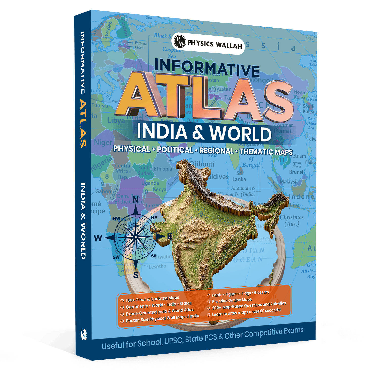
An atlas for UPSC is not just a collection of colourful maps showing different countries. For a civil services aspirant, it is a highly specialized analytical tool used to decode physical geography, political boundaries, and trade corridors. A standard school map book focuses on basic locations, but a dedicated UPSC mind map book helps you link geographical features to current global events.
When preparing for the Civil Services Examination (CSE), you need a map book that shows clear, updated regional layouts. The ideal book includes detailed physical and thematic maps of both India and the world.
Using an atlas book for UPSC helps you study the following essential elements:
-
Political Boundaries: Exact international borders, disputed territories, and bilateral transit points.
-
Physical Landscapes: Major mountain ranges, plateau regions, plains, and lowlands that dictate military movement and agricultural output.
-
Drainage Systems: Rivers, tributaries, and canals that act as natural boundaries or essential trade pathways.
-
Strategic Water Bodies: Seas, gulfs, bays, and straits that control maritime commerce and naval power.
Why Is the Russia–Ukraine Region Important in the Atlas Book for UPSC?
The territorial conflict between Russia and Ukraine has remained a dominant theme in global affairs for several years. Because the Civil Services Examination focuses heavily on regions in the news, this territory is a major source of map-based questions.
When you open your UPSC atlas book to the Eastern European section, you are looking at a crucial geopolitical transit zone. This region acts as a physical bridge between the European Union and Northern Asia.
The region is highly significant for the civil services syllabus for several key reasons:
-
Warm-Water Maritime Access: Russia has long sought year-round access to warm-water ports. Unlike its northern ports that freeze in winter, the Black Sea offers deep-water access to the Mediterranean Sea and global trade lanes.
-
Agricultural Heartlands: Ukraine is often called the "breadbasket of Europe" due to its fertile black soil, known as Chernozem. Visualising these agricultural belts in your map book helps you understand global food supply chain issues.
-
Energy Transit Corridors: Major natural gas pipelines run from Siberia through Ukraine to reach central European nations. Map questions often focus on these transit corridors and the geopolitical leverage they provide.
-
Territorial Shifts: From the annexation of Crimea to the disputed Donbas region, political lines are constantly changing. Keeping track of these changes in your world atlas for UPSC is vital for answering current affairs questions.
UPSC Revision Books help streamline your preparation by presenting important topics, key facts, and essential concepts in a concise, easy-to-revise format. Perfect for last-minute revision, these books enhance recall, save valuable study time, and help aspirants stay exam-ready for both UPSC Prelims and Mains.
What are the Main Countries and Borders in the Atlas Book for UPSC?
Using your world atlas for UPSC, trace the borders of Ukraine in a clockwise direction to lock this layout into your visual memory.
-
Russia: It shares the longest land border with Ukraine to the north and east. This boundary stretches across flat plains, making it a historically difficult border to defend.
-
Belarus: Positioned directly to the north of Ukraine. The border area includes the Pripyat Marshes, a complex wetland terrain.
-
Poland: It lies to the northwest of Ukraine. This is a critical border for trade and refugee transit, linking Ukraine to the European Union.
-
Slovakia and Hungary: It shares shorter borders along the Carpathian Mountains in the west.
-
Romania: It borders Ukraine to the southwest, divided into a northern section and a southern section near the Danube Delta.
-
Moldova: Nestled in the southwest corner of Ukraine. This border includes the breakaway region of Transnistria, which is heavily monitored by international security analysts.
Important Seas, Rivers, and Locations in the Atlas Book for UPSC
Physical geography often dictates political and military strategies. The land surrounding Ukraine is defined by critical water bodies, strategic river systems, and disputed urban centres. You must locate these features in your atlas for UPSC PDF or printed UPSC books.
1. Key Seas and Maritime Straits
-
The Black Sea: The central marine basin of the region, providing vital shipping routes to the Mediterranean Sea.
-
The Sea of Azov: A shallow northern engine of the Black Sea, bordered by Ukraine to the north and Russia to the east.
-
The Kerch Strait: A narrow, highly strategic channel connecting the Black Sea and the Sea of Azov. The Kerch Bridge spans this strait, serving as a critical supply route to the Crimean Peninsula.
2. Major River Systems
-
Dnieper River (Dnipro): The main water artery of Ukraine. It flows from Russia through Belarus and Ukraine before emptying into the Black Sea, dividing Ukraine into Right-bank and Left-bank halves.
-
Donets River: A major river in eastern Ukraine that gives its name to the industrial Donbas basin (Donets Basin).
-
Danube River: Touches the southwestern tip of Ukraine, forming a natural border with Romania and acting as a major transport corridor for European trade.
3. Critical Geopolitical Hotspots
-
Crimean Peninsula: A strategic landmass jutting into the northern Black Sea, annexed by Russia. It houses the key naval port of Sevastopol.
-
The Donbas Region: Comprising the Luhansk and Donetsk oblasts (provinces) in eastern Ukraine, this heavily industrialised coal-mining region has been a focal point of intense fighting.
-
Odessa: Ukraine’s largest deep-water port on the Black Sea, critical for grain shipments.
-
Zaporizhzhia: Home to Europe's largest nuclear power plant, situated along the banks of the Dnieper River.
Also Check, UPSC PYQ Book
Study Plan to Use Atlas Book for UPSC
Studying maps effectively requires structured practice rather than passive looking. You need a systematic approach to turn geographic data into high-scoring answers.
Here is a step-by-step strategy to make the most of your atlas for UPSC geography when studying geopolitical conflict zones:
1. Establish the Big Picture: Phase 1: 5 Minutes.
Open your map book to the European continent page. Locate the Black Sea and trace how it connects to the Mediterranean Sea through the Bosporus and Dardanelles Straits. This helps you understand the region's global maritime context.
2. Trace the Political Outline: Phase 2: 10 Minutes.
Focus on the regional map of Ukraine. Slowly trace the outer borders with a finger or a wooden pointer. Say the names of the seven bordering nations aloud to build auditory memory alongside your visual focus.
3. Plot the Waterways and Cities: Phase 3: 15 Minutes.
Identify the path of the Dnieper River from north to south. Locate the major cities along its banks, such as Kyiv, Dnipro, and Zaporizhzhia. Take note of how these urban centres rely on the river for transport, cooling energy plants, and water supply.
4. Practice Drawing the Outline: Phase 4: 10 Minutes.
Close your book and try to sketch a simplified outline of Ukraine, the Sea of Azov, and the Crimean Peninsula on a blank sheet of paper. Your sketch does not need to be perfect; the goal is to capture correct relative positions. Aim to complete your rough sketch in under 60 seconds.
Revision Tips for Using the Atlas Book for UPSC
When the exam approaches, you will not have time to reread long chapters of text. You need quick, high-impact visual triggers to refresh your memory.
Use these practical tips to streamline your revision process:
-
Color-Coded Flags: Use small, coloured sticky notes on the edges of your map pages. Use red flags for ongoing conflict zones, blue for strategic waterways, and yellow for industrial or energy pipelines.
-
Create Mental Checklists: When you open your map book, ask yourself quick questions. For example: "Which three rivers drain into the Sea of Azov?" or "Which landlocked countries border Ukraine?"
-
Solve Blank Outline Maps: Keep a stack of cheap, blank outline maps of the world. Test your memory by labeling the Black Sea countries, the Baltic States, and the major European peninsulas without looking at your notes.
-
Integrate Maps with Daily News: Whenever you read a newspaper article about an international meeting or a territorial dispute, immediately open your UPSC atlas book and find the mentioned locations. Linking current events to physical maps makes the information much easier to recall during the exam.
Revise the most important current affairs with the UPSC Quarterly Current Affairs Combo 2026 by Aasim Sir, covering issue-based analysis, government schemes, reports, international events, and exam-oriented content for both UPSC Prelims and Mains.
Common Mistakes to Avoid While Learning Maps with Atlas Book for UPSC
Many students spend hours studying maps but fail to answer actual exam questions correctly because of a few common mistakes:
-
Studying in Isolation: Many candidates look at political boundaries without checking the underlying physical features. For instance, they might learn that Poland borders Ukraine, but overlook how the Carpathian Mountains shape the terrain along Ukraine's southern border.
-
Ignoring the Surrounding Areas: It is easy to focus so closely on Ukraine that you forget to study the wider regional map. You must also study nearby water bodies like the Baltic Sea, the Aegean Sea, and the Caspian Sea, as questions often ask you to compare these basins.
-
Relying Solely on Digital Formats: While an atlas for UPSC pdf is handy for quick reference on your phone, studying on a screen can limit your spatial awareness. A large, physical paper map allows your brain to build a better spatial memory of where places are in relation to each other.
-
Ignoring Latitudes and Longitudes: The civil services exam often asks you to arrange cities or physical features from north to south or east to west. Always note which major lines of latitude or longitude pass near key conflict zones.
Read More: How to Study Current Affairs for UPSC Exam
Atlas Book for UPSC FAQs
Which is the best atlas for UPSC geography preparation?
The best map book is one that features clear, updated political and physical maps with dedicated thematic layouts for both Indian and global geography. It should also include practice questions and simple map-drawing guides to help you prepare for the Mains exam.
How do I handle map-based questions in the civil services prelims?
Focus heavily on regions that have been in the news over the past 12 to 18 months. Identify their land borders, surrounding maritime straits, capital cities, and major flowing rivers, and practice plotting them on blank outline sheets.
Should I focus more on physical maps or political maps?
You must study both. Political maps help you identify administrative boundaries and disputed cities in current affairs, while physical maps explain the natural barriers, river paths, and terrains that drive those political events.