Why Teachers Recommend PW Atlas Map Book for Exams?

Students often struggle to connect theoretical geography concepts with raw visual coordinates on a map. This mismatch leads to poor marks in location-based questions during pressure-filled mock sessions.
When teachers recommend an ATLAS Books for UPSC, they point out that conceptual mapping fills the gap between static book knowledge and direct exam application. Visual retention dramatically reduces the time spent recalling critical borders, river basins, and mountain passes during active assessments.
Overview of Atlas for UPSC
The preparation journey requires an absolute mastery over physical and political terrain to score high marks. An recommended atlas book for UPSC serves as a specialized manual that does not merely show borders but tells a clear geographical story.
Teachers highlight that standard regional maps fail to address the cross-disciplinary questions asked in modern exams. The right UPSC books links global environments directly with current international dynamics. By presenting information through multi-layered regional formats, this resource ensures that candidates view maps as living systems rather than static lines on paper.
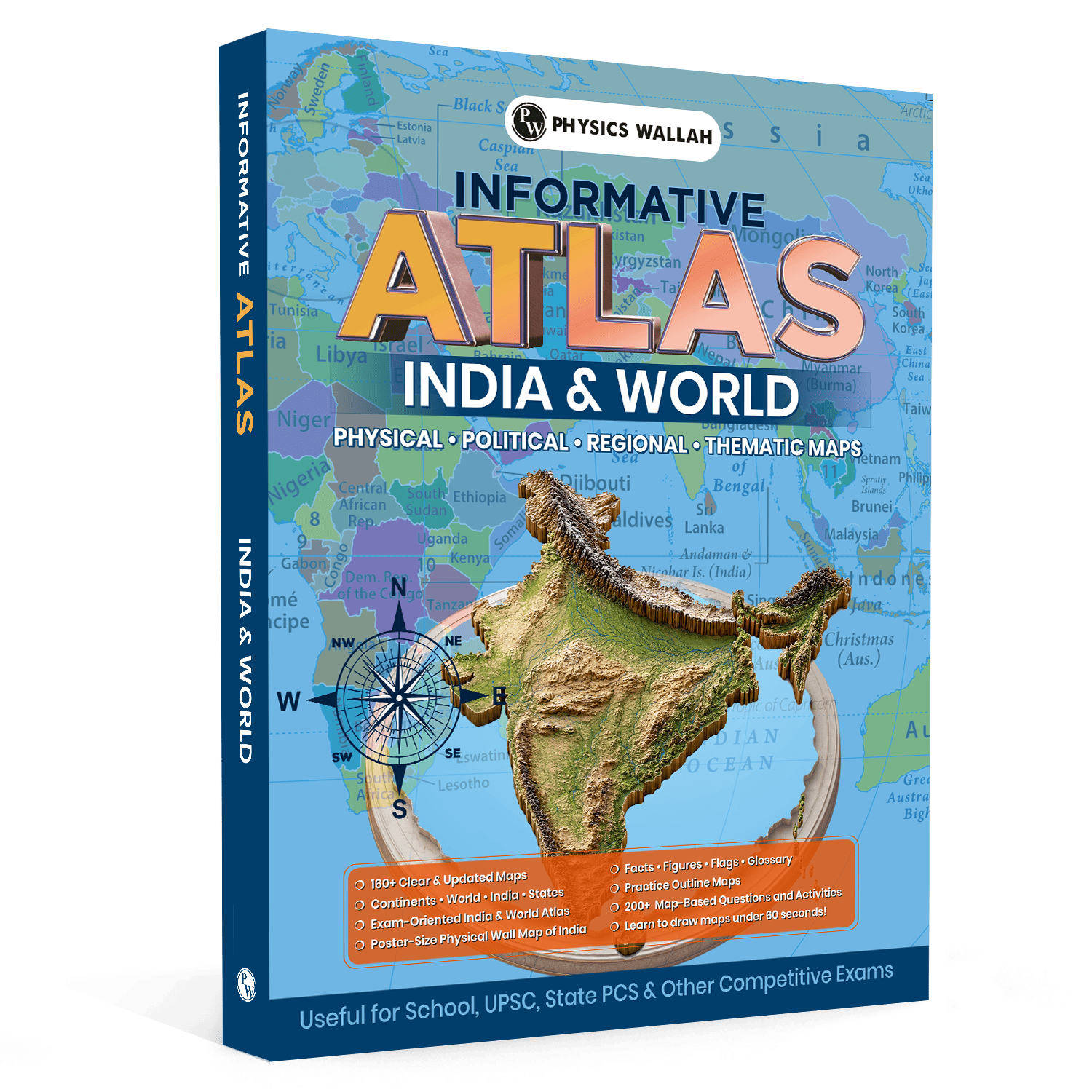
At its core, a dedicated UPSC atlas book is a visual compilation containing over 160 clear and updated maps designed specifically for comprehensive syllabus coverage. Unlike generic academic reference designs, it focuses on areas that match the exact analytical requirements of competitive testing fields.
-
It presents physical variables alongside political markers on identical scales.
-
It organizes layout schemes to track historical alterations and economic zones simultaneously.
-
It covers detailed updates regarding international treaty borders and new administrative lines.
-
It simplifies intricate regional micro-data into plain, crisp imagery.
Features of Atlas for UPSC
The structural architecture of this specialized world atlas for UPSC stands out because it targets active memory preservation over simple passive scanning. The 2026 edition provides distinct, value-driven tools that alter traditional preparation methods completely:
-
160+ Clear and Updated Maps: The collection covers comprehensive sectors across continents, countries, states, major rivers, and mountain ranges.
-
Techniques for Rapid Map-Drawing: The layout teaches unique structural methods to draw important geographical sectors in under 60 seconds, which acts as a crucial advantage for descriptive evaluation papers.
-
Dedicated Reference Systems: The back pages feature dense charts containing crucial facts, figures, international flags, and a comprehensive terms glossary.
-
Active Testing Modules: It provides more than 200 map-based questions and hands-on activities to check your functional understanding continuously.
-
Poster-Size Learning Tools: Every package includes a large physical wall chart of India to enable constant visual scanning inside the student's regular study room space.
Why Do Teachers Recommend Atlas for UPSC?
Educators recommend this resource because it directly addresses the problem of location accuracy that affects many competitive exam aspirants. Many students lose marks not because they lack information, but because they struggle to recall spatial distributions correctly under exam pressure.
Teachers highlight that this resource balances broad world-level understanding with detailed state-level geographical information. By combining practice-based map activities with reference visuals, it transforms learning from passive reading into active visual practice.
This structured approach develops stronger visual memory pathways, helping students recall important geographical locations quickly during challenging exam situations. To further strengthen revision, students can combine atlas practice with UPSC Revision Books, which provide concise summaries, important facts, and exam-focused content for quick revision. Together, these resources help improve conceptual clarity, retention, and overall UPSC preparation.
Important Maps Covered in the Atlas for UPSC
Understanding the depth of spatial distribution demands specific categorization of mapping variations. A proper atlas for UPSC geography ensures that no critical thematic zone remains unaddressed during daily review schedules.
|
Map Type Category |
Specific Spatial Data Included |
Practical Exam Relevance |
|
Physical Systems |
River pathways, high elevation passes, tectonic fault lines, plateaus |
Essential for predicting geomorphological patterns and volcanic zones. |
|
Political Zones |
Disputed borders, state capitals, maritime boundaries, new enclaves |
Directly applicable to international relations questions and current affairs. |
|
Regional Layouts |
Local soil distribution, crop belts, mineral basins, industrial zones |
Critical for economic geography segments and resources analysis. |
|
Thematic Overviews |
Monsoon wind directions, climatic bands, ocean current flows |
Helps solve complex environmental and atmosphere-based questions. |
How to Use Atlas for UPSC?
Maximising the utility of the atlas for UPSC PDF version or the printed text demands a disciplined, systemic approach rather than sporadic page flipping.
-
Step 1: Synchronise with Current Events: Whenever a location appears in daily news reports, open the corresponding regional layout page immediately.
-
Step 2: Trace the Surrounding Topology: Identify all neighboring water systems, mountain formations, and state borders touching that target point.
-
Step 3: Implement the 60-Second Sketching Method: Close the textbook and spend one minute drawing a crude freehand replica of the zone on a blank sheet.
-
Step 4: Solve the Built-In Questions: Complete the relevant questions provided inside the testing modules to verify your spatial retention immediately.
What Should be the Study Plan with Atlas for UPSC?
Achieving comprehensive mastery over spatial dimensions requires a structured timeline that balances regional understanding with detailed geographical concepts. A well-planned study approach should include regular map practice, topic-wise revision, and continuous evaluation to ensure better retention.
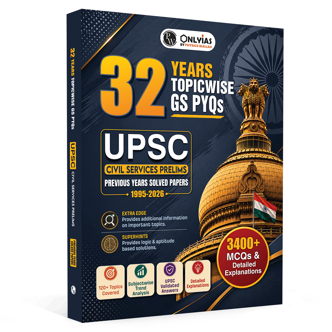
To make your preparation more exam-focused, combine atlas practice with UPSC PYQ book. Solving PYQs helps identify frequently asked geographical areas, understand the pattern of map-based questions, and evaluate your preparation level. This combination allows aspirants to focus on important locations, improve accuracy, and build confidence for the UPSC Prelims and Mains examinations.
Phase One: The Foundation Setup (Days 1 to 15)
Focus entirely on the domestic terrain by mapping out the physical attributes of the subcontinent. Dedicate one hour every morning to tracking river origins, major mountain ridges, and plateau margins. Use the included poster-size wall map to anchor these visual structures in your mind during passive periods.
Phase Two: The Continental Shift (Days 16 to 45)
Transition toward global politics and environmental systems. Break down your study schedule by examining one individual continent every four days. Map out significant maritime channels, choke points, and energy resource fields while completing the integrated practice activities at the end of each section.
Revision Tips for Using Atlas for UPSC
Long-term memory retention relies on targeted repetition rather than rereading extensive chapters.
-
Utilise Color-Coded Highlights: Mark international disputed zones with red, water paths with blue, and archaeological sites with green markers.
-
Run Blind Identification Drills: Use the blank practice outline pages to fill in names of mountain peaks without looking at the filled guide.
-
Review the Flags and Glossary Section: Spend fifteen minutes every Sunday checking the dedicated reference index to lock in secondary statistical facts.
-
Re-sketch Key Choke Points: Draw vital international shipping straits and canal pathways repeatedly until your hand movement becomes fluid.
Also Check, UPSC Test Series
Common Mistakes to Avoid While Using Atlas for UPSC
Many aspirants process geographic pages identically to historical prose, which limits memory formation.
-
Passive Scanning: Simply looking at colored pages without sketching the lines manually yields very low memory retention during actual tests.
-
Ignoring the Glossary: Skipping the back-page facts and figures means missing out on direct, high-scoring statistical variables.
-
Studying Geography in Isolation: Failing to link the map visuals with active current affairs updates makes your preparation outdated.
-
Overlooking Scale Variations: Mixing up regional close-ups with broad continental layouts leads to incorrect distance estimations during objective questions.
Read More: List of Important Articles in Indian Constitution
Atlas for UPSC FAQs
1. How many maps are included in the atlas for UPSC?
The volume contains over 160 clear and updated maps that span physical, political, regional, and thematic variations across domestic and global zones.
2. Can this atlas book for UPSC assist in descriptive paper writing?
Yes, it features specialized map-drawing techniques that teach candidates how to sketch crucial boundaries and geographic zones accurately in under 60 seconds.
3. Does the UPSC atlas book provide direct practice questions?
The text provides more than 200 map-based questions and interactive review activities to evaluate structural learning levels effectively.