How to Use PW Atlas Book for UPSC Exam Preparation?

Geography requires visual familiarity rather than rote learning, yet finding a structured method to tackle map-based questions remains a major hurdle. Standard textbooks provide theoretical context, but without spatial visualisation, names and locations quickly fade from memory.
This article explains how to use Atlas Book for UPSC, ensuring you retain critical geographical data for your final civil services papers.
Overview of Atlas for UPSC
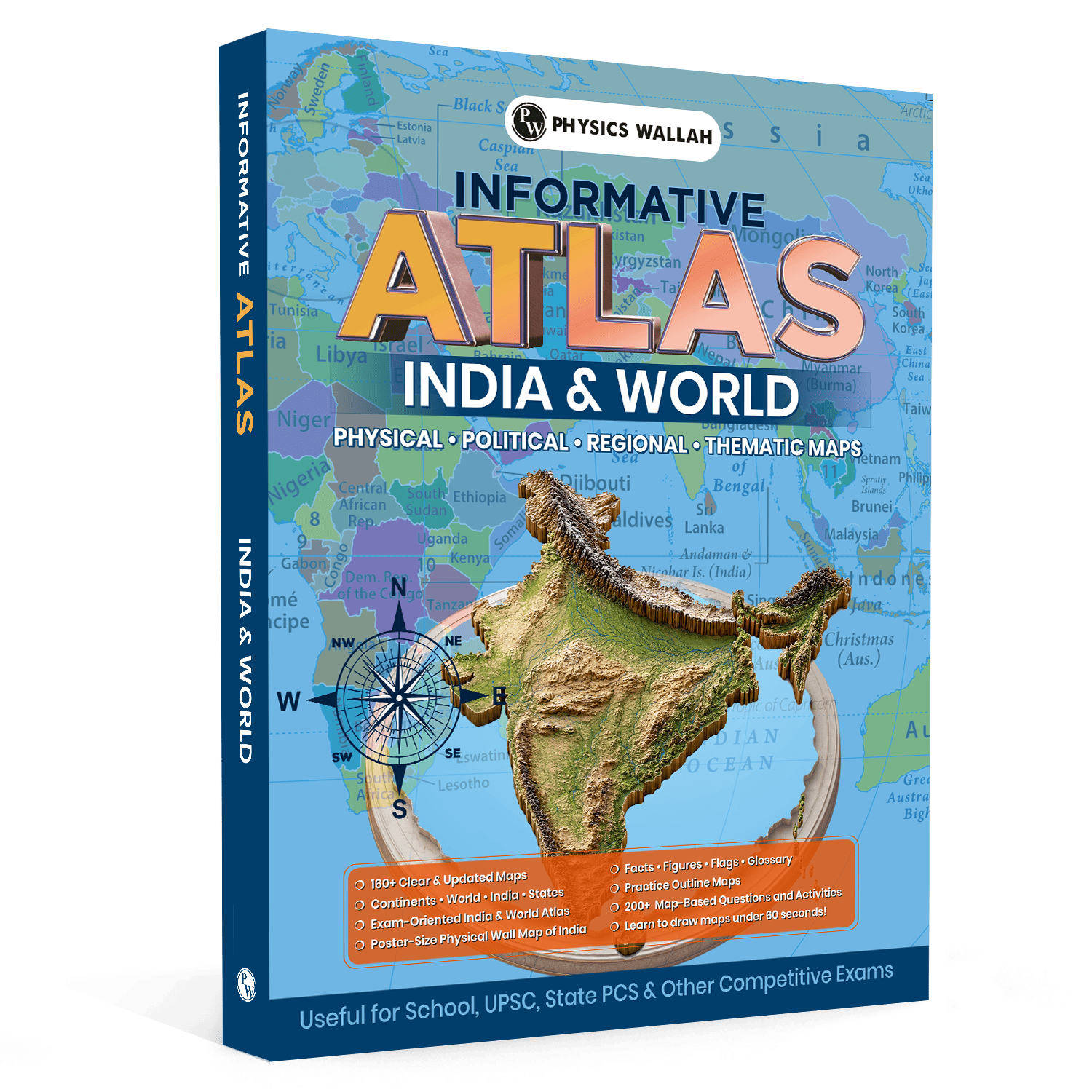
An Atlas for UPSC serves as a core foundational book designed to translate theoretical geographical concepts into spatial realities. The Atlas Indian & World 2026 Edition provides comprehensive map-based coverage of both regional and global geographies.
It compiles more than 160 updated maps specifically designed to assist aspirants in identifying key features across various continents and oceans.
Unlike general school Atlases, an UPSC Atlas book focuses on areas that frequently appear in competitive civil services examinations. This includes detailed physical and political maps, demographic statistics, economic data, and environmental zones.
|
Feature |
Details and Inclusions |
|
Total Maps Included |
Over 160 clear, updated India and World maps. |
|
Physical Features |
Complete coverage of mountains, plateaus, rivers, deserts, and oceans. |
|
Interactive Content |
200+ practice questions and targeted map activities. |
|
Special Techniques |
Under 60-second map-drawing guidance for Mains answer writing. |
|
Additional Materials |
Large poster-size physical wall map of India for daily viewing. |
Why Is Atlas for UPSC Important for Preparation?
A deep spatial understanding is indispensable for navigating both the Prelims and Mains stages of the Civil Services Examination. Map-based questions are not limited to Geography alone—they also play a significant role in subjects such as International Relations, Environment & Ecology, History, and Disaster Management. To strengthen your preparation across these interconnected topics, students can also use UPSC Books, which provide comprehensive subject-wise theory, practice questions, and revision material aligned with the latest UPSC syllabus. Combining atlas-based learning with structured UPSC books helps build conceptual clarity and improves overall exam readiness.
-
Simplifies Complex Theoretical Concepts: Visualising the physical terrain makes it much easier to understand atmospheric circulation, monsoon patterns, and local climates.
-
Improves Location-Based Accuracy: Knowing the precise layout of seas, choke points, and international borders is essential for answering tricky Prelims questions.
-
Enhanced Mains Answers: Adding simple hand-drawn maps to your GS Paper I and Paper III answers instantly makes your points clearer and improves your presentation.
-
Contextualises Current Affairs: Locating regions experiencing geopolitical tensions, natural disasters, or major infrastructure projects makes current events far easier to remember.
-
Active Learning and Revision: Engaging with integrated practice questions and interactive activities ensures you retain information long-term.
Important Maps to Cover in the Atlas for UPSC
To make your study sessions productive, focus on high-yield sections instead of trying to memorise every single map. The UPSC syllabus requires a balanced focus on both national and international geographical features.
1. Indian Geography Key Maps
-
Physical Features: Focus on the great Himalayan ranges (including key peaks and passes), the Indo-Gangetic plains, the Deccan plateau, and coastal landforms.
-
River Systems: Study the origin, flow direction, and tributaries of major Himalayan rivers (Indus, Ganga, Brahmaputra) and Peninsular rivers (Godavari, Krishna, Kaveri, Narmada, Tapi).
-
Climate and Soil: Trace the path of the Southwest and Northeast monsoons and match them with regional vegetation types and soil categories.
-
National Parks and Biosphere Reserves: Learn the locations of key wildlife sanctuaries, tiger reserves, and Ramsar wetland sites relative to major rivers and mountain ranges.
2. World Geography Key Maps
-
Mountain Ranges and Deserts: Locate major global physical structures like the Andes, Rockies, Alps, Atlas Mountains, Sahara, Gobi, and Atacama deserts.
-
Global Choke Points and Waterways: Study critical marine pathways including the Malacca Strait, Bab-el-Mandeb, Strait of Hormuz, Gibraltar, and the Suez and Panama Canals.
-
Important Seas and Bordering Nations: Pay close attention to water bodies that frequently appear in current affairs, such as the Mediterranean Sea, Black Sea, Caspian Sea, Red Sea, and South China Sea.
How to Use Atlas for UPSC?
Using an Atlas for UPSC Geography effectively requires active engagement rather than passive reading. Simply looking through maps will not help you retain complex geographical details during the high-pressure environment of the actual examination. To make your revision more effective, combine atlas-based learning with the UPSC Mindmaps Combo Set Books, which organise important concepts, facts, and connections in a concise visual format. This combination helps improve memory retention, strengthen conceptual understanding, and make Geography revision more structured for UPSC Prelims and Mains.
1. Step-by-Step Map Marking
-
Use the Right Tools: Keep a set of fine-tipped multi-coloured pens, highlighters, and transparent sticky notes handy.
-
Highlight Key Areas: Use specific colours consistently—for example, blue for water bodies, green for environmental forests, and orange for geopolitically sensitive areas.
-
Add Quick Sticky Notes: Stick small annotations directly onto the margins of your Atlas to explain why a particular place has been in the news.
2. Practice Rapid Map Sketching
-
Learn Under 60 Seconds: Dedicate time to learning simple map-drawing techniques that allow you to sketch outline maps of India or different continents in under a minute.
-
Use Key Reference Points: Use simple geometric shapes or gridlines to help you draw accurate proportions quickly during the Mains exam.
-
Label Crucial Details: Practice placing important mountains, rivers, or industrial corridors on your hand-drawn outlines to make your Mains answers stand out.
Study Plan for Using Atlas for UPSC
Consistent, daily practice is the right way to build strong geographical awareness. Integrating map work into your routine makes remembering locations second nature.
1. Daily Map Tracking
-
Track Current Affairs: Spend 10 minutes every day looking up any cities, ports, or regions mentioned in the daily news.
-
Visualise the Location: Find the exact spot on the map, note down its neighboring countries, and check for nearby geographic features like seas or mountains.
2. Weekly Thematic Deep Dives
-
Choose One Topic: Focus on one specific system each week, such as Indian River Systems, Himalayan Passes, or Central Asian Border Countries.
-
Compare Physical and Political Layers: Look at how physical terrain features align with state borders, population distributions, and economic hubs.
-
Solve Targeted Questions: End your weekly study session by working through some of the 200+ integrated map-based questions to check your progress.
Tips to Follow with Atlas for UPSC
Studying maps can easily feel overwhelming if you try to memorise too much at once. These practical steps will help keep your study sessions focused and productive.
-
Use a Large Wall Map: Hang up a large physical wall map of India in your study space. Looking at it daily naturally builds a strong visual memory of regional landforms and state borders.
-
Study from Large to Small: Always start with a broad overview of a continent or country before zooming in to study specific states, local rivers, or individual cities.
-
Relate Geography to History: Try matching historical empire boundaries, trade routes, or ancient archaeological sites with physical maps to see how terrain shaped historical events.
-
Leverage Mnemonics: Create simple, memorable acronyms to remember complex lists, like using "TARIK" to recall the countries bordering the Caspian Sea.
-
Work with Blank Outline Maps: Regularly practice filling in blank maps to test your memory and make sure you can accurately place key locations without help.
To make your atlas practice more effective, combine map-based learning with UPSC PYQ book. Solving PYQs helps you understand how map-based questions are asked in the actual examination, identify important geographical areas, and focus your revision on high-priority topics for UPSC Prelims and Mains.
Common Mistakes to Avoid While Using Atlas for UPSC
Avoiding common pitfalls will save you valuable time and keep your geography preparation on track.
-
Relying Only on Digital Formats: While searching for an Atlas for UPSC PDF online is convenient for quick checks, studying from a high-quality physical Atlas offers far better spatial learning and retention.
-
Studying Maps in Isolation: Do not study maps as a separate, isolated subject. Always connect your map work to your standard geography textbooks, environmental studies, and current affairs.
-
Over-Highlighting Your Book: Highlighting every single name on a page makes the map unreadable. Focus on key terms, important landmarks, and places that have featured in recent news.
-
Ignoring the Map Legend: Skipping the legend makes it easy to misinterpret symbols, elevation colours, boundary markers, or economic indicators.
-
Ignoring World Flags and Glossary Data: Missing out on the handy facts, regional flags, and quick-reference glossary sections at the back of your book costs you easy, high-value revision points.
Read More: Important Constitutional Amendments in India for UPSC
Atlas for UPSC FAQs
How do I remember country borders using a world Atlas for UPSC?
Focus on key water bodies and regional groupings, then use simple mnemonics to remember the bordering nations. Regularly practicing with blank outline maps will quickly reinforce your visual memory.
Can I prepare for map questions using only an Atlas for UPSC PDF?
While digital files are useful for quick checks on the go, a physical Atlas book for UPSC is much better for active highlighting, side-by-side page comparisons, and long-term memory retention.