Why Every UPSC Aspirant Needs Indian & World Atlas for Prelims

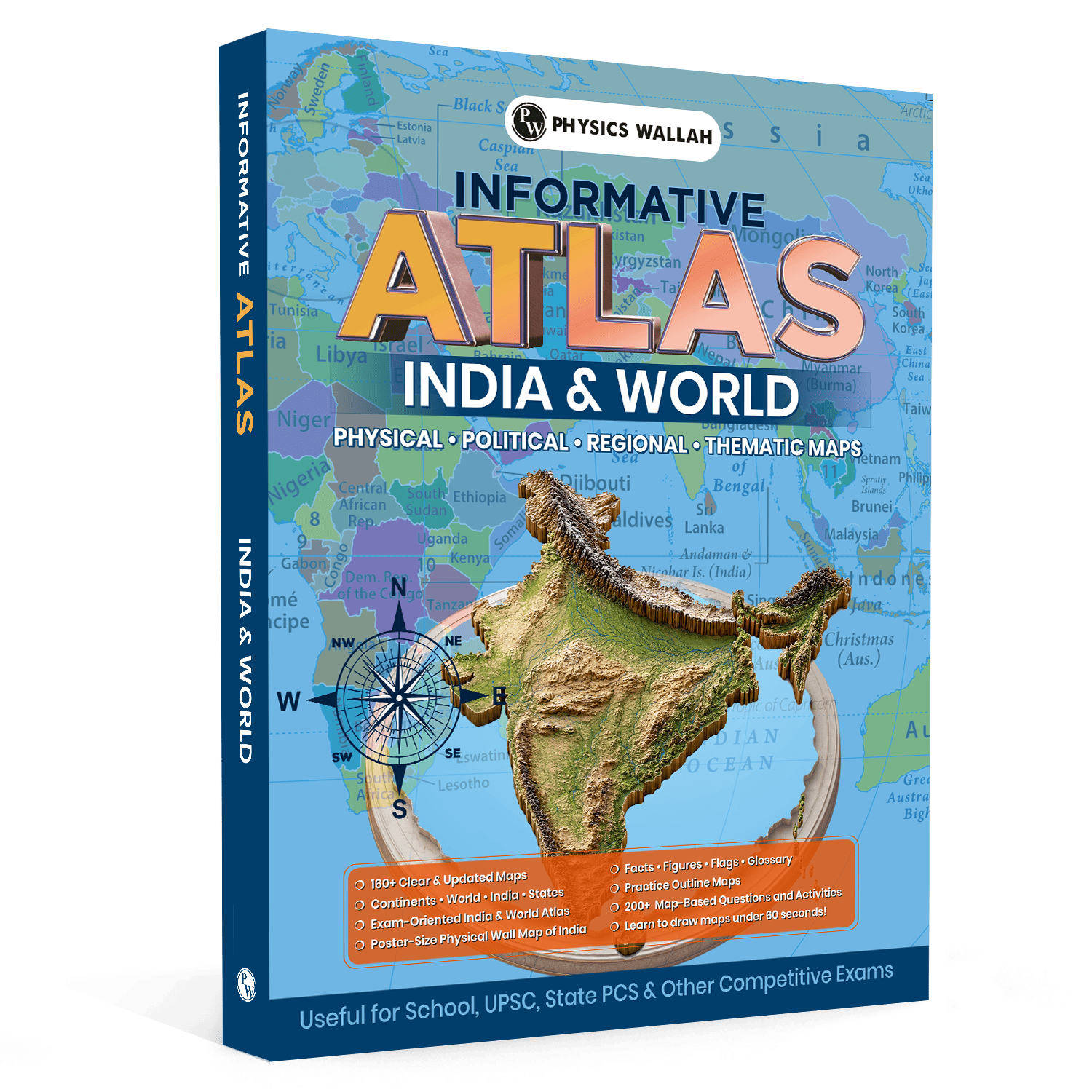
Civil services candidates often overlook practicing with maps, leading to failure in the first stage. Memorising textbook facts is never enough when questions require precise spatial awareness. The UPSC Atlas book helps you to connect the theoretical knowledge with the actual geography and hence it is a must have book for your civil services preparation.
How a UPSC Atlas Book Helps with Map-Based Questions
The civil services preliminary test typically involves a substantial number of questions tied directly to geography and current events. Candidates who overlook visual learning often find themselves unable to pinpoint locations mentioned in the news, leading to lost marks in a highly competitive exam.
It will be easier to decode these patterns if you spend time on a UPSC Atlas book. It is much easier to understand geography when you can see a country, river or mountain range in the context of its geopolitics.
Why Textbooks Are Not Enough for UPSC Geography
-
Lack of Spatial Context: Standard reference books describe terrain in words, which is difficult to visualise during an examination.
-
Current Affairs Integration: Modern questions link global conflicts or environmental issues to specific regions, requiring immediate map recognition.
-
Memory Retention: Photographic memory from regular practice lasts longer than memorizing text by cramming.
Benefits of Using a UPSC Atlas Book
To excel at geography, it is necessary to be able to map it physically and politically and to have a conceptual clarity. An Atlas is a visual UPSC books that takes abstract concepts and makes them concrete and easy to remember when the exam pressure is on.
What to Study with an Atlas Book
When studying the Indian and world Atlas UPSC syllabus, you need to categorise your preparation into distinct segments. For the domestic section, focus on river systems, national parks, mountain passes, and biosphere reserves.
For the global section, direct your attention toward crucial choke points, straights, seas, and regions experiencing geopolitical shifts. This systematic approach ensures that you cover all potential areas from which questions might be framed.
How to Practice Maps with a UPSC Atlas Book
Simply staring at maps will not yield results; you need an active strategy to retain complex geographical data. Regular, short sessions are far more productive than trying to memorise an entire continent in a single day.
-
Coordinate with Daily News: Whenever you read about a place in the newspaper, locate it immediately in your Atlas book.
-
Use Blank Maps: After studying a region, try to plot the rivers, hills, and cities on a blank outline map to test your recall.
-
Trace River Systems: Hand-trace the path of major rivers from their source to their mouth, noting all left-bank and right-bank tributaries.
-
Compare Latitudes and Longitudes: Observe which major Indian cities or global capitals share approximately the same latitude.
Quick Tips to Improve Map Practice
-
Use different coloured highlighters for rivers, mountains, and political borders to make visual scanning easier.
-
Spend around fifteen minutes every single day on map plotting rather than doing long weekly sessions.
-
Focus heavily on bordering countries of water bodies that are frequently in the news, such as the Mediterranean Sea or the Red Sea.
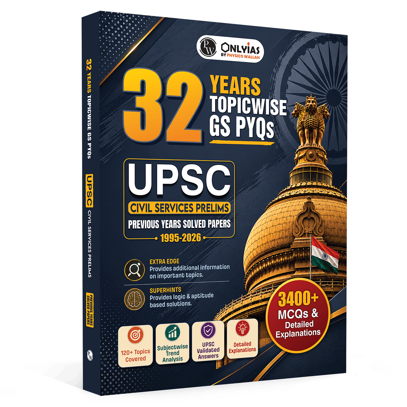
To reinforce your geographical understanding, practise alongside an UPSC PYQ Book, which contains authentic previous year questions covering Geography, Environment, and International Relations. Solving PYQs after map practice helps you connect locations with the actual UPSC question pattern, improve retention, and identify high-priority areas for revision.
How a UPSC Atlas Book Helps in Prelims
An analysis of past papers reveals that questions are rarely straightforward. The civil services exam tests your ability to apply geographical knowledge to environmental and economic contexts, making a reliable UPSC Atlas book an essential tool for cross-referencing.
Common Question Patterns to Expect
-
Arranging Locations: Placing cities, seas, or mountains in order from North to South or West to East.
-
River Tributaries: Identifying the correct combination of main rivers and their feeding streams.
-
Regions in News: Matching a troubled global region with its corresponding country or surrounding water body.
UPSC Question Bank for comprehensive topic-wise practice with chapter-wise MCQs, previous year questions, detailed explanations, and exam-oriented exercises based on the latest UPSC syllabus. It helps strengthen conceptual understanding, improve analytical thinking, identify high-weightage topics, and build confidence for both the UPSC Prelims and Mains examinations.
How to Use a UPSC Atlas Book Effectively
To get the most out of your mapping resources, you must integrate them with your core subject revision. Whenever you study history, environment, or economics, keep your Atlas open alongside your notes to ground your learning in real-world spaces.
Avoiding Common Mistakes in Mapping
Many candidates make the mistake of trying to memorise every tiny town or minor rivulet. Focus your energy on prominent features and regions that remain in the spotlight throughout the year.
Overloading your brain with irrelevant details can lead to confusion during the actual exam. Stick to a structured schedule, trust your primary mapping sources, and revise the same maps multiple times to build permanent visual memory.
Important Topics to Cover with a UPSC Atlas Book
Your preparation should be highly targeted to save time and energy. Ensure that your study plan covers these critical elements thoroughly during your daily revision sessions.
-
Major Straits and Canals: Understand the global shipping lanes and maritime choke points.
-
Important Mountain Passes: Focus on the Himalayan passes and their connectivity roles.
-
Volcanic and Earthquake Belts: Trace the Ring of Fire and alpine-himalayan belts.
-
Ocean Currents: Differentiate between warm and cold currents and their impact on local climates.
Most candidates treat mapping as an isolated task to be done at the very end of their preparation. The real advantage comes from continuous integration, where maps are used to validate every piece of static data you read. By turning geographical layout into a core component of your daily routine, you develop an intuitive understanding of geopolitics and environmental shifts that text-heavy learners completely lack.
Read More: How Many Attempts for UPSC?
UPSC Atlas Book FAQs
How many map based questions appear in the prelims geography each year?
The number varies every year, but candidates can generally expect around five to eight questions linked directly or indirectly to map locations and spatial context.
Can I prepare for the Indian and world Atlas UPSC questions without a physical Atlas?
While digital maps are helpful for quick lookups, a physical Atlas book is highly recommended because it allows for easier cross-referencing, marking, and developing proper spatial perspective.
How much time should I dedicate to map practice daily?
Spending approximately fifteen to twenty minutes daily on systematic map plotting is sufficient to build strong retention over a period of a few months.
Which areas should I focus on for global Geography preparation?
Focus primarily on regions experiencing geopolitical tensions, major international trade routes, prominent water bodies, and global environmental hot spots.
Should I memorise all the tributaries of Indian rivers for prelims geography?
You should focus on the major tributaries of primary river systems like the Indus, Ganga, Brahmaputra, Godavari, and Krishna, rather than trying to learn every minor stream.